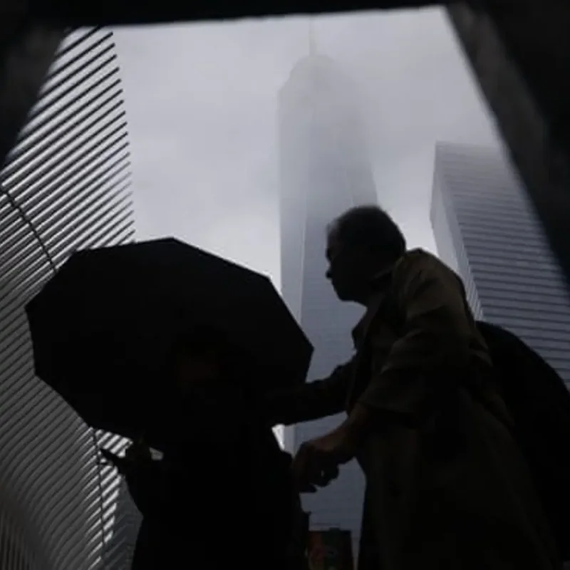
A combination of dangerous weather conditions hit the northeastern United States on Saturday, bringing both wildfire haze and severe torrential downpours to the region.
Smoke originating from Canadian wildfires returned to New York City and nearby communities, pushing air quality indexes back into unhealthy ranges.
Meteorologists noted that changing wind patterns are expected to clear the haze gradually, but these same atmospheric shifts are generating strong thunderstorms across the tri-state area.
The initial wave of storms triggered a flash flood warning for New York City and northern New Jersey, causing visible water accumulation in vulnerable infrastructure like Penn Station.
Rainfall totals exceeded 2.5 inches in specific zones by the afternoon, leading to active flooding in neighborhoods such as Jamaica, Crown Heights, Forest Hills, Ozone Park, Brooklyn Heights, Park Slope, Woodside, and Greenpoint.
The National Weather Service placed a large portion of the tri-state region under a level 3 out of 5 risk, signaling that numerous organized severe storms are likely rather than isolated events.
Forecasters warned that the ongoing weather system retains the potential to produce damaging wind gusts, hail, torrential rainfall, and isolated tornadoes before dissipating.
Meanwhile, the southern United States continues to manage the aftermath of prolonged, historic rainfall that has caused major river systems to swell significantly.
In southwest Texas, the Devils River was projected by the National Weather Service to reach a major flood stage of 21 feet, well above its local 5-foot flood threshold.
The Rio Grande is also anticipated to peak at 21 feet by Sunday morning, compared to the minor flood stage level of 8 feet designated for the Laredo area.
Emergency rescue teams conducted multiple operations following persistent downpours that caused at least two fatalities and left hundreds of residents stranded.
Cumulative rainfall surpassed 2 feet in certain Texas regions over a week, causing rivers to overflow and impacting rural border communities that had previously avoided major damage.
Near Ozona, floodwaters covered portions of Interstate 10, necessitating boat rescues for more than 50 individuals from inundated apartment complexes and an RV park.
In Uvalde County, an intense concentration of rainfall over a few days resulted in the partial collapse of a bridge spanning the Nueces River.
Similar flash flooding incidents were reported further north, with residents in the Hyde Park neighborhood of Cincinnati, Ohio, experiencing rapid water rises within 30 minutes.
Multiple states continue to assess infrastructure damage and clear debris as long sections of major highways remain submerged by the storm systems.