
NASA and the Indian Space Research Organisation (ISRO) have publicly released the first radar datasets from the joint NISAR satellite on July 20, 2026.
The high-resolution Earth observation data includes detailed imagery of Antarctic ice formations that resemble a hummingbird.
The data release comes ahead of the first anniversary of NISAR's launch on July 30, 2025, from India's Satish Dhawan Space Centre.
Public users can access L-band data through NASA's archive and S-band data via ISRO's Bhoonidhi portal.
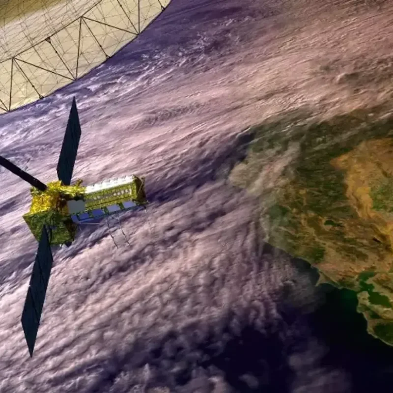
NISAR is the world's first satellite equipped with complementary dual-frequency L-band and S-band radar instruments.
It features a 39-foot drum-shaped reflector antenna, scanning nearly all global land and ice surfaces twice every 12 days.
NASA highlighted that the radar imagery provides clear insights into remote geographic structures that optical cameras cannot capture.
The agency released an image of Nunatak Zaterjavshijsja, a mountaintop in East Antarctica surrounded by moving glacier ice.
"Despite its otherworldly quality, the Antarctic image shows a very real geographical feature called Nunatak Zaterjavshijsja, a mountaintop in East Antarctica, poking out amid a stream of ice flowing northeast to the ocean," NASA stated.
As the glacier moves past the mountain peak, mechanical stress fractures the surrounding ice into deep crevasses.
These structural features create distinct visual patterns in the processed microwave radar data.
"The 'hummingbird' exemplifies one of the young mission's hallmarks, intricately detailed imagery that is both informative and eye-catching," NASA said in a news release.
Engineers at NASA's Jet Propulsion Laboratory processed the imagery by analyzing how polarized microwave signals reflect off frozen surfaces.
Horizontal radar signals appear magenta over smooth ice, while vertically polarized signals scatter off crevasses in green.
"First, it's a beautiful image, with rich details of features that provide insights to how the glacier is moving.
Then, because radar can often see through snow and deep into the ice, NISAR can observe fundamentally different properties of Antarctic ice than can be seen in optical imagery," said Seongsu Jeong, signal analysis engineer at NASA's Jet Propulsion Laboratory.
Jeong explained that the satellite's radar signals penetrate surface snow layers, exposing subsurface features invisible in standard sunlight photographs.
The system generates dozens of terabytes of environmental data daily for international scientific research.
"With NISAR we're seeing what's hidden beneath the surface," Jeong said.
The mission provides critical monitoring data for natural disaster response, agricultural tracking, and land deformation.
During its initial testing period, the satellite recorded urban street layouts, agricultural fields, landslides, earthquakes, and ground subsidence in Mexico City.