A surge in tropical moisture and an upper-level disturbance will increase the risk of heavy rainfall and flash flooding across the region starting Saturday, July 18, 2026, according to a weather forecast from WBRZ.
The stormy pattern will intensify during the second half of the weekend, with Sunday through Tuesday projected to be the most active days.
Total rainfall accumulation is expected to reach between 1 and 4 inches, with higher amounts possible in some areas.
Weekend Forecast
Saturday is forecast to begin with clear skies before clouds build up around noon, bringing a 60 percent chance of scattered afternoon showers and storms.
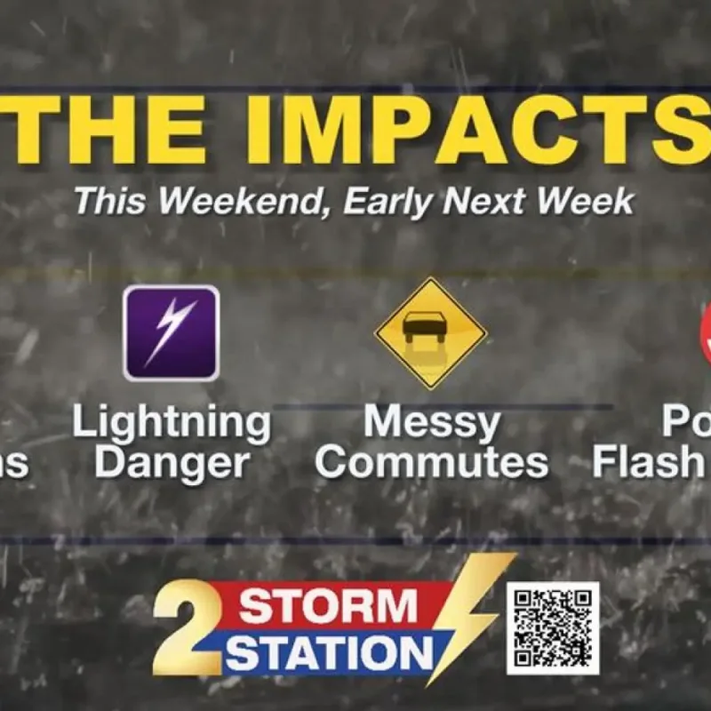
These thunderstorms may produce frequent lightning, gusty winds, and localized heavy downpours.
Atmospheric moisture will increase further on Sunday, raising storm coverage to 80 percent, particularly during the afternoon hours.
While storm activity will slow down overnight, residual showers could potentially impact the Monday morning commute.
The greatest threat for widespread heavy rain and localized street flooding will occur early next week due to an upper-level disturbance and a weak front.
Daily high temperatures will drop from the lower 90s over the weekend to the mid-80s by Monday.
Storm coverage is expected to decrease significantly after Tuesday as a ridge of high pressure builds over the area.
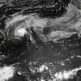
Meanwhile, the Atlantic Basin, Caribbean Sea, and Gulf of Mexico remain quiet with no tropical cyclone development expected for the next seven days.