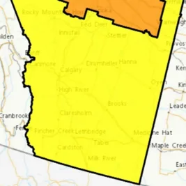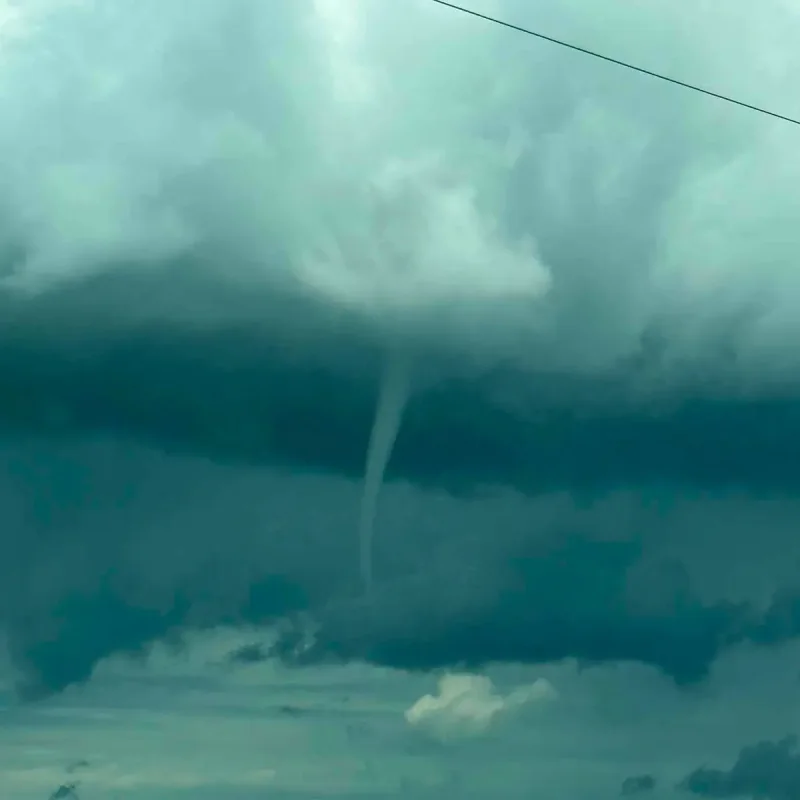
Environment Canada issued expanded tornado alerts on Friday evening, July 3, 2026, as a severe thunderstorm cluster tracked east at 20 kilometers per hour north of The Battlefords, Saskatchewan.
The updated emergency notifications came after an earlier tornado warning for the Edam area was canceled around 5:30 p.
m. Doppler radar data at 5:49 p.
m. showed a dangerous new storm system concentrated about 5 kilometers north of The Battlefords.
Storm Details and Hazards
The atmospheric instability was fueled by a lingering trough of low pressure over southern and central Saskatchewan.
The system moved northeast at 30 km/h, carrying intense rainfall and destructive winds.
“In addition to a tornado, this severe thunderstorm is capable of producing hail to the size of baseballs and wind gusts in excess of 100 km/h,” the alert stated.
Public reports and videos confirmed golf ball-sized hail near Cochin and Jackfish Lake around 5 p. m.
Social media footage also showed extreme conditions west of Meadow Lake earlier in the afternoon.
“This is a very dangerous and potentially life-threatening situation,” the alert warned.
By 6 p. m.
, multiple areas remained under severe thunderstorm watches as tornado warnings were canceled and reinstated.
Environment Canada noted conditions could still produce winds up to 90 km/h and heavy downpours.