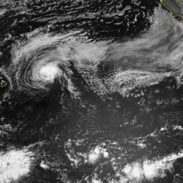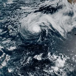
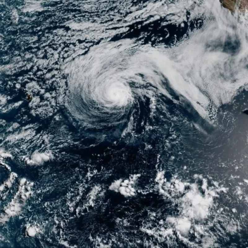
Hurricane Genevieve briefly reached Category 5 status in the East Pacific on Monday, becoming the first storm of that intensity in the region in two years, according to the National Hurricane Center.
The system is expected to move roughly parallel to the Mexican coastline while staying far out at sea.
>>> Double Earthquakes Shake Kyushu Island Triggering Infrastructure Closures
Data from the Miami-based center showed Genevieve had maximum sustained winds of 145 mph (230 kph).
The storm's center was located about 505 miles (810 kilometers) southwest of Baja California's southern tip, moving northwest at 12 mph (19 kph).
No coastal watches or warnings were issued, but the hurricane center warned that swells from Genevieve were creating life-threatening surf and rip currents along parts of southwestern Mexico and the Baja California peninsula.
Forecasters expect the hurricane to fluctuate in strength before weakening later in the week.
>>> Pete Wicks and Olivia Attwood Confirm Relationship Following Ibiza Trip
Tropical Storm Fausto Approaches Hawaii
Meanwhile, Tropical Storm Fausto weakened from hurricane strength on Monday evening as it continued moving toward Hawaii.
Officials advised residents to monitor the storm's progress, even though Fausto is projected to pass north of the state.
The hurricane center noted that strong ocean currents and large surf were building along east-facing shores across Hawaii.
>>> Burnham Faces Conflicting Pressures Over North Sea Drilling Approvals
Fausto had maximum sustained winds of 70 mph (110 kph) and was positioned about 415 miles (670 kilometers) east-northeast of Hilo, moving west-northwest at 16 mph (26 kph).