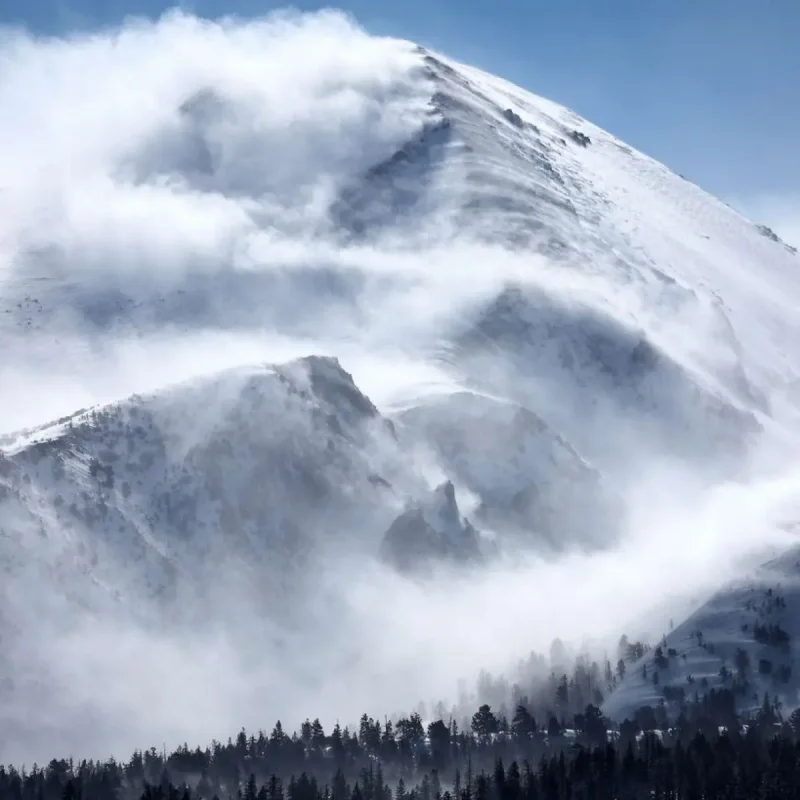
A rare winter storm swept through the northern Rocky Mountains on June 28, bringing heavy snow, strong winds, and temperatures 15 to 20 degrees below normal.
The system affected high-elevation areas across Idaho, Montana, and Wyoming, creating hazardous travel conditions just days before the July Fourth holiday.
The National Weather Service issued winter storm and weather alerts for higher elevations along the borders of the three states.
Forecasters warned that the storm could produce unusually heavy snowfall for late June, especially in mountain areas above 6,500 feet in southwestern Montana and central Idaho.
Dense, wet snow combined with gusty winds increased the risk of hypothermia and blocked roadways from downed trees.
Weather alerts remained in effect through the morning or midday of June 29.
In Montana, the Georgetown Lake region and other backcountry areas could accumulate 4 to 8 inches of snow, with the highest elevations potentially seeing up to 12 inches.
Minor slushy accumulations were possible at Homestake and MacDonald passes as snow levels briefly dropped.
Idaho's Fourth of July Peak could receive up to 6 inches of snow over the next few days, according to the National Weather Service.
In Wyoming, snowfall was expected to be restricted to higher elevations, with most mountain areas projected to accumulate roughly 4 to 6 inches.
The storm also generated showers and scattered thunderstorms, producing bursts of heavy rain that reduced visibility and caused erratic winds.
On June 28, the National Weather Service in Great Falls, Montana, stated that strong winds would affect north-central parts of the state.
"Wind speeds are likely to peak early this evening with a few gusts in excess of 50 mph causing difficult cross-winds," the agency said.
The agency advised travelers to consider delaying trips across backcountry and higher elevations.
If travel was necessary, it recommended carrying a winter storm kit including tire chains, booster cables, flashlight, shovel, blankets, extra clothing, water, and a first aid kit.
Forecasters also noted a slight risk of excessive rainfall leading to flash flooding in Glacier National Park through the night of June 28, with the heaviest rain rates expected during the evening hours.