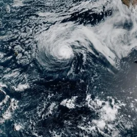

A slow-moving low-pressure system is set to sweep across New England from Tuesday through Thursday, bringing torrential downpours and significant flash flooding risks to broad stretches of Massachusetts, weather forecasters reported on July 27, 2026.
Meteorologists indicate that the storm track, which mirrors a typical winter pattern originating over New York State, is expected to dump between 2 to 4 inches of rainfall in areas west of Worcester County.
>>> Arsenal and Barcelona Battle for Atletico Madrid Striker Julian Alvarez
Locations along the Connecticut River Valley could see totals exceeding 4 inches, while regions farther east toward the I-95 corridor and Greater Boston are projected to receive 1.5 to 3 inches of rain.
The National Weather Service issued a Flood Watch for Berkshire, Franklin, Hampshire, and Hampden counties, running from Tuesday afternoon through Wednesday evening, as soil saturation heightens the potential for severe street flooding.
National Weather Service forecaster Torry Dooley provided key details on the system's extended duration and behavior across the region.
"This is gonna be a very slow moving system," Dooley said.
He noted that showers will linger across the state as moisture is steadily drawn out of the warm summer atmosphere.
>>> Audi Scores Two Points at Hungarian Grand Prix with Hulkenberg Ninth
"But we do anticipate that it’ll probably be raining essentially from Tuesday late afternoon through maybe Thursday afternoon," Dooley said.
Despite the meteorological classification of the low-pressure system featuring northeast winds, Dooley clarified that it lacks the traditional hazards associated with winter storms.
"So across the entire state, it looks like it’s gonna be a real soaking," Dooley said.
He explained that severe coastal high winds and hail are not expected to materialize during this event.
"The main concern would just be flash flooding," Dooley said.
>>> Yankees Rally Past White Sox 9-5 in Series Opener
Rains are projected to ease by late Thursday afternoon, leaving cooler and gray conditions in place before the system moves out to sea on Friday.