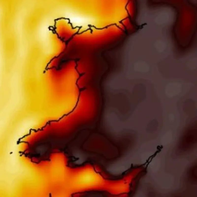
The Met Office has forecast a prolonged heatwave across Wales beginning Tuesday, July 7, 2026, with temperatures expected to climb into the high 20s and low 30s Celsius.
Meteorologists predict consecutive days of hot weather, potentially outlasting the two previous warm spells this year.
Southern England may see peaks of 34-35°C later in the week, while Welsh regions like Monmouth and Newport are set to reach 29°C and 27°C respectively on Tuesday afternoon.
“Temperatures are expected to climb into the low 30s Celsius across much of southern England from the start of the week, with some locations potentially reaching 34-35°C later in the week,” the Met Office stated.
The agency noted that the hot weather will persist throughout the week and into the following week, marking a shift from the shorter hot spells recorded in May and June.
“The very warm conditions are likely to last into the weekend, but with increasing humidity and a growing risk of showers or isolated thunderstorms.
Into early next week, temperatures are likely to trend down slightly, although many areas will stay dry, fine and still warm,” the Met Office added.
Officials issued safety warnings as Thursday and Friday are projected to be the hottest days, with temperatures consistently exceeding 30°C under strong sunshine.
Mist and fog are expected to clear rapidly each morning, giving way to intense solar radiation, particularly in eastern areas.
The Met Office forecast for Wednesday states: “Any mist and fog will lift quickly, leaving a bright and sunny day for all.
Feeling hot in the strong sunshine, especially in the east. Maximum temperature 30 °C.”
The long-range outlook from Saturday, July 11, until Monday, July 20, indicates that an Atlantic frontal zone will eventually bring cooler conditions to northern areas, creating a boundary for potential storm development.
“Southern areas are likely to start this period hot, with heatwave conditions persisting.
To the north, an Atlantic frontal zone will introduce somewhat cooler conditions, with the potential for scattered thunderstorms to develop just ahead of this,” the Met Office said.
High pressure is projected to build near the north or northwest of the UK during the subsequent week, keeping many areas dry but leaving southern regions vulnerable to unstable weather.
“Into the following week, high pressure is likely to build to the north or northwest of the UK, though its exact orientation is rather more uncertain.
This would bring a lot of dry weather for many areas, though perhaps an increased chance, relative to previous days, of showers or thunderstorms in the south,” the Met Office stated.
Temperatures are predicted to remain above average in the high 20s through the end of the weekend, with weather maps tracking sustained high temperatures into the following week despite a slight cooling trend.