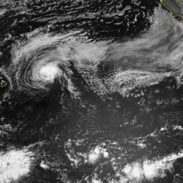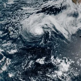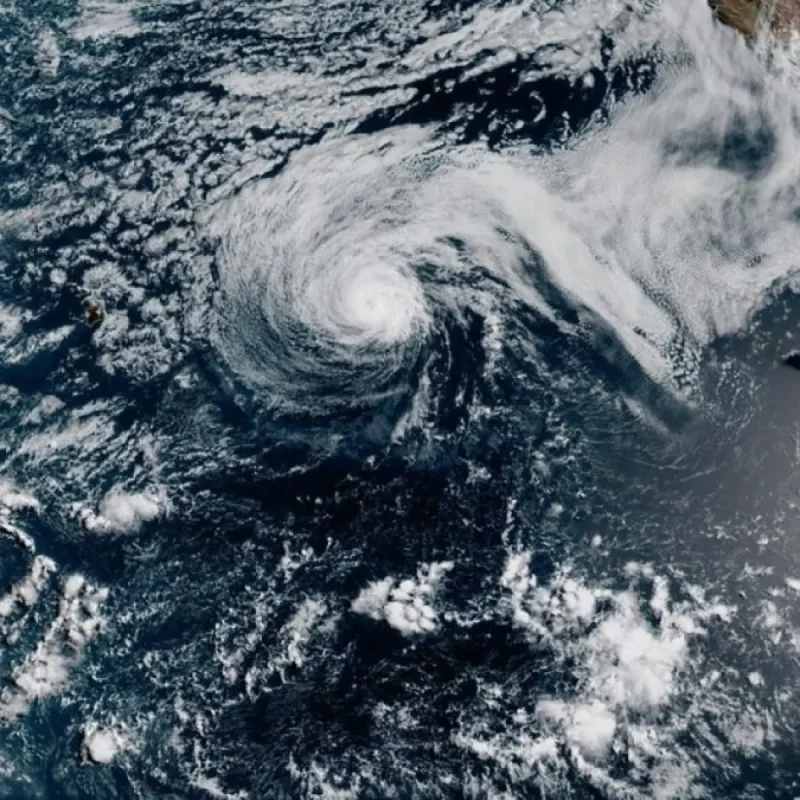
Hurricane Genevieve intensified into a Category 5 storm early Monday, reaching peak winds of 160 mph in the eastern Pacific.
It is the first storm of that strength in the basin since 2024, according to the National Hurricane Center.
The storm underwent rapid intensification, doubling its wind speed from 80 mph on Saturday evening to 160 mph within about 30 hours.
That pace surpassed the typical threshold for rapid intensification.
Genevieve's central pressure dropped sharply from 993 millibars as a tropical storm to 929 millibars at peak intensity.
That marks one of the steepest pressure falls observed in recent eastern Pacific hurricanes.
By Monday afternoon, the storm had weakened slightly to a high-end Category 4. It is moving westward into open ocean and poses no direct threat to land.
Waves and Rip Currents Expected Along Southern California Coast
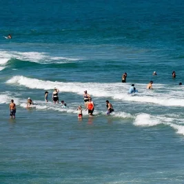
Despite its offshore track, Genevieve is expected to generate large waves reaching up to 11 feet along the Southern California coast.
These swells will increase the risk of rip currents this week.
The hurricane's strength was fueled by unusually warm ocean waters linked to a rapidly strengthening El Niño.
Sea surface temperatures near 86 degrees Fahrenheit, about 3 degrees above normal, provided ample energy for the storm's intensification.
As Genevieve moves into cooler waters later this week, it will lose intensity. However, its winds will continue to push large waves toward the West Coast and Hawaii.
The eastern Pacific hurricane season remains highly active, with recent storms Elida and Fausto also affecting Southern California and Hawaii.
The ongoing El Niño is expected to prolong the season and increase storm frequency, raising the potential for landfall threats to Mexico, Hawaii, and possibly California.
Typically, hurricane season winds down in October and November as cooler water temperatures and shifting atmospheric patterns reduce storm formation.
However, this year's El Niño may extend tropical activity, increasing the chance of storms traveling northward toward California.
California has experienced tropical system impacts before, such as heavy flooding from Hurricane Hillary's remnants three years ago, and a Category 1 hurricane made landfall in San Diego in 1858.
With ocean temperatures off San Diego warmer than usual this year, the risk of a hurricane reaching California's coast intact is low but higher than in previous years.