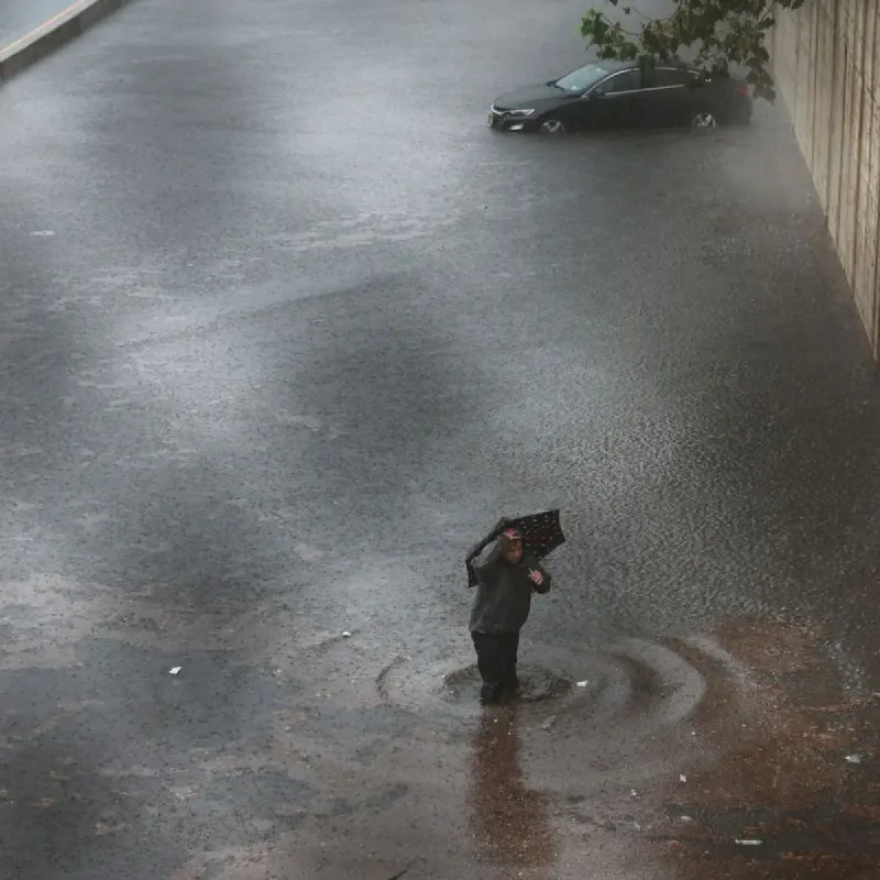
A slow-moving weather disturbance combined with deep Gulf moisture is raising the threat of flash flooding across major parts of Texas beginning Wednesday.
The elevated risk covers the Hill Country and the Interstate 35 corridor, including Austin, San Antonio, and Dallas.
Meteorologists from the FOX 26 weather team said scattered showers and thunderstorms will intensify midweek.
The most severe precipitation is expected to develop west of the Houston metropolitan area.
Heightened rainfall chances are forecast to persist across the region through the end of the week.
Multiple Rounds of Downpours
Multiple rounds of heavy downpours could lead to localized flash flooding.
Secondary weather impacts are likely to expand into North Texas and surrounding Houston communities as the system progresses.
Meanwhile, activity in the Atlantic basin has begun to subside.
Two tropical systems monitored earlier in the central Atlantic have lost momentum.
Fay weakened below tropical threshold status, while Tropical Storm Hanna is projected to dissipate without threatening land before hurricane season ends in late November.