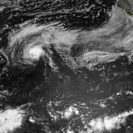
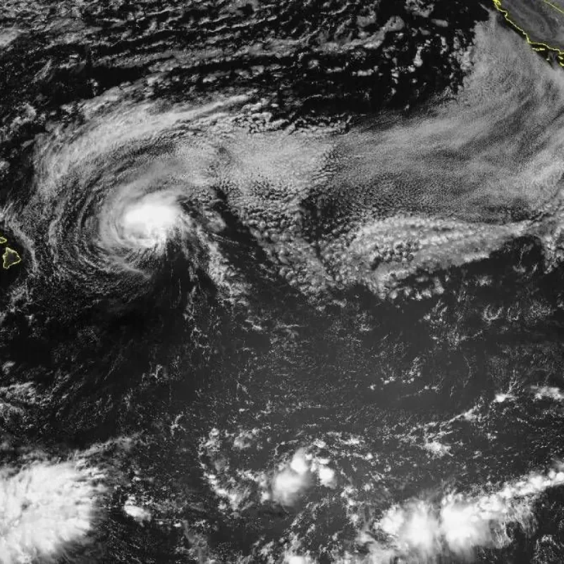
The National Weather Service has issued a high surf warning for the east-facing shores of Kaua‘i and Ni‘ihau as Hurricane Fausto continues to weaken while tracking toward the Hawaiian islands.
The warning, issued on July 27, 2026, remains active until 6 p. m.
>>> Toronto Caribbean Carnival 2026: Grand Parade Set for August 1
Wednesday.
Building easterly swells are expected to push surf heights to 12 to 16 feet along exposed shorelines, accompanied by hazardous ocean currents.
Storm Status
According to an 11 a. m.
update, Air Force Reconnaissance aircraft data showed Fausto's maximum sustained winds had decreased to 75 mph.
>>> Liam Neeson Reflects on Moral Purpose and Courage Through Iconic Roles
The storm center was located about 505 miles east of Hilo, moving west-northwest at 16 mph.
Kaua‘i County officials warned that tropical-storm-force winds extend outward up to 140 miles.
These conditions bring breezy trade winds, scattered heavy showers, and potential localized coastal impacts as the storm passes north of the island chain.
Shipping operator Young Brothers reported that increased harbor surge could disrupt barge berthing and delivery schedules.
>>> Nationals Recall Paxton Schultz, Designate Matt Krook for Assignment
Emergency management personnel advised residents to prepare 14-day supply kits and monitor municipal updates.