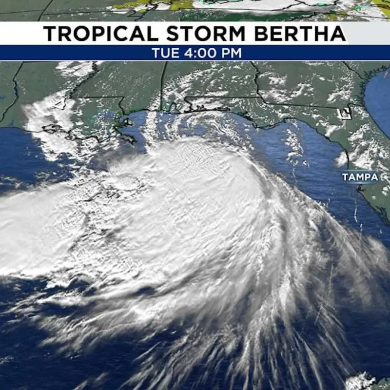
Tropical Storm Bertha intensified over the northeastern Gulf of Mexico as it moved toward New Orleans, with outer rainbands scheduled to reach the Houston area on Wednesday night.
Maximum sustained winds for Bertha reached 60 mph on Tuesday afternoon as the system traveled northwest at 6 mph.
The storm maintained a minimum central pressure of 995 millibars while moving along the northern Gulf Coast.
Landfall and Path
Forecasters report that Bertha will make landfall near New Orleans on Wednesday afternoon before shifting west toward Houston by late Thursday.
The system is expected to weaken gradually as it approaches Southeast Texas.
Initial outer rainbands are forecasted to impact Southeast Texas between 6:00 PM and 10:00 PM on Wednesday.
These strong thunderstorms, traveling from northeast to southwest, carry the potential for localized heavy rainfall.
The central circulation of Bertha will reach the region on Thursday, bringing scattered showers and thunderstorms.
Widespread heavy rain and strong winds in Houston are not anticipated due to land interaction, dry air, and wind shear.
Coastal conditions will deteriorate along the region, with ocean seas reaching up to 6 feet in coastal waters.
Localized rip-current risks are expected to rise along area beaches.
Warnings and Surge
A Tropical Storm Warning spans from the Florida Panhandle westward to Morgan City, Louisiana, encompassing metropolitan New Orleans and Lake Pontchartrain.
A Tropical Storm Watch remains in effect farther west toward Cameron, Louisiana.
A storm surge ranging from 2 to 4 feet is anticipated near the mouth of the Mississippi River.
Other sections of the central Gulf Coast could experience surge levels between 1 and 3 feet, with the heaviest rainfall remaining primarily offshore.