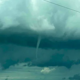
The National Weather Service has issued a flood watch for the Lehigh Valley, effective from Sunday afternoon, July 5, 2026, through Monday evening.
Meteorologists in Mount Holly, New Jersey, placed the region under the watch starting at 2 p. m.
>>> Brazil and Norway Clash in World Cup Round of 16
Sunday until 8 p. m.
Monday.
The alert is due to a 40% chance of excessive rainfall, with thunderstorms capable of producing rainfall rates exceeding two inches per hour.
Areas along and south of the Interstate 78 corridor are expected to be primarily impacted.
Concerns Over Flash Flooding
Forecasters expressed growing concern over the storm system's potential to quickly submerge urban and low-lying communities.
>>> UK DWP Closes Legacy Benefits in Universal Credit Milestone
"A Flood Watch has been issued for a large portion of the area from around the urban corridor northward beginning this afternoon as we are growing increasingly concerned about flash flooding this afternoon through Monday," the National Weather Service stated.
The hazardous weather outlook aligns with an existing heat advisory that remains active until Sunday evening.
"Impacts from prolonged heat and humidity will continue today even though the high temperatures and max heat indices will not be as high as recent days," forecasters said.
Precipitation will continue overnight into Monday morning, bringing cooler temperatures near 74 degrees.
>>> J.K. Simmons Opens Up About Early Struggles, 'Whiplash' Oscar Speech, and Upcoming Roles
Additional rainfall accumulations between a half- and three-quarters of an inch are expected.