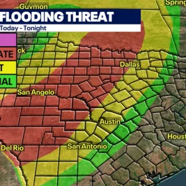
Persistent rainfall continues to impact southern New England on July 7, 2026, keeping river levels rising from runoff and maintaining minor localized flooding risks across the region.
The ongoing weather system follows a heavy downpour on Monday that drenched the area with accumulated rainfall totals measuring between one and three inches.
Official reports indicate minimal flooding occurred initially due to the slow-moving nature of the showers and an absence of convective storms that typically accelerate rainfall intensity.
Weather authorities dropped the Flood Watch for Connecticut as heavy rain began tapering off into spotty showers, though a low risk of excessive rainfall remained active through the morning.
Scattered showers and gusty northeasterly winds are projected to persist throughout Tuesday across Massachusetts and Rhode Island, bringing a potential for tropical downpours and roadway ponding.
Higher rainfall totals are anticipated along the eastern shoreline of Massachusetts as a low-pressure system shifts toward the eastern coast, pulling the moisture plume away around midnight.
A transition to mostly sunny conditions and warmer temperatures in the low 80s is forecast to emerge on Wednesday, according to regional meteorologists.
Scattered showers and elevated river levels continue across Connecticut, Massachusetts, and Rhode Island following heavy rainfall on July 7, 2026.