
>>> Mercedes and Ferrari Extend Contracts Altering F1 Driver Market Dynamics
Feeling hot in the strong sunshine, especially in the east. Maximum temperature 30 °C.”
The long-range outlook from Saturday, July 11, until Monday, July 20, indicates that an Atlantic frontal zone will eventually bring cooler conditions to northern areas, creating a boundary for potential storm development.
“Southern areas are likely to start this period hot, with heatwave conditions persisting.
To the north, an Atlantic frontal zone will introduce somewhat cooler conditions, with the potential for scattered thunderstorms to develop just ahead of this,” the Met Office said.
High pressure is projected to build near the north or northwest of the UK during the subsequent week, keeping many areas dry but leaving southern regions vulnerable to unstable weather.
“Into the following week, high pressure is likely to build to the north or northwest of the UK, though its exact orientation is rather more uncertain.
This would bring a lot of dry weather for many areas, though perhaps an increased chance, relative to previous days, of showers or thunderstorms in the south,” the Met Office stated.
>>> Sam Ryder Makes West End Debut in Jesus Christ Superstar Revival
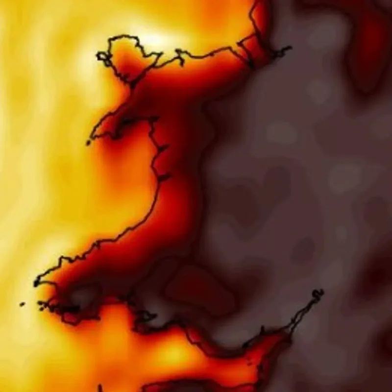
Temperatures are predicted to remain above average in the high 20s through the end of the weekend, with weather maps tracking sustained high temperatures into the following week despite a slight cooling trend.