A National Weather Service flood watch took effect Tuesday for areas of Massachusetts south of the Massachusetts Turnpike, as heavy rainfall targets a region in the midst of a historic dry spell.
The WBZ Weather Team issued a NEXT Weather Alert through Tuesday afternoon due to the risk of torrential downpours and flash flooding in small creeks and streams, according to CBS Boston.
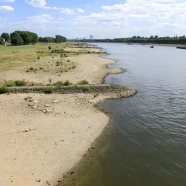
Boston has recorded its driest start to any year in 2026, with precipitation nearly 10 inches below the average year-to-date mark.
The city also experienced its hottest start to July on record.
The Weather Prediction Center placed areas along and south of the Massachusetts Turnpike under a slight to moderate risk of excessive rainfall.
An unusual mid-summer low-pressure system is passing just south of the region, bringing the storm.
Along the immediate coastline, northeast winds are expected to gust between 20 and 40 mph on Tuesday, potentially causing isolated tree damage.
The storm system is forecast to taper off by Tuesday evening.